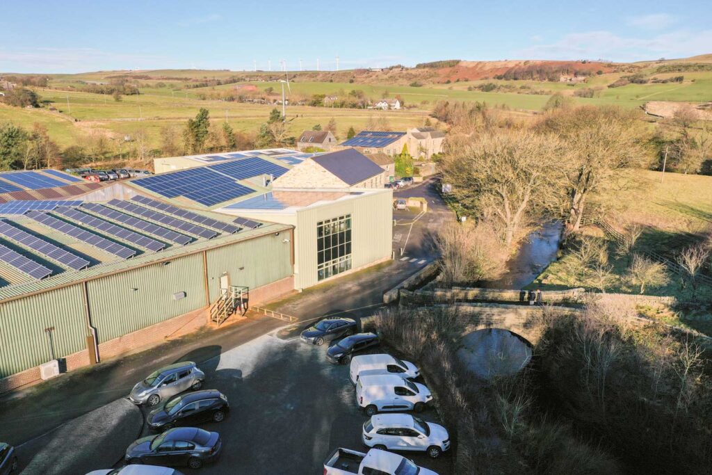
Welcome to our new eco-friendly offices!
We’re expanding – Together with our new website, we have relocated our offices to a carbon-neutral building located in an idyllic countryside location in Millhouse Green, Sheffield. The Old Corn Mill was the First Privately-Owned Building in the UK to become Carbon-Negative.
This move was part of our commitment to become carbon-neutral by 2030. View our Carbon Reduction Plan.
How to find us
Directions from Junction 37 off the M1 motorway:
Stay on Whinby Rd/A628 direction Manchester for 6.8 miles
Turn right onto Lee Ln/B6106 then turn left after 0.4 miles (you’ll see two large mill stones on either side of the drive)
Ample parking is available. We are located in “The Old Corn Mill” on the ground floor.
Services
Over the past 5 years, our company has grown from strength to strength. We now employ a team of highly-trained, fully qualified and insured UAV pilots based all over the UK. This enables us to carry out aerial photography and surveys all over the country. Read more.
Digital Twins
Find out how UK Air Comms creates Digital Twins (Interactive, 3D virtual replicas of assets) using Drone Technology. Read more.
Line of Sight Surveys
We carry out Line of Sight Surveys for telecommunication companies throughout the UK. Line of Sight surveys are useful when planning locations of new telecoms antennas and towers. They’re also carried out periodically on existing infrastructure to ensure the maximum efficiency for antenna broadcasts, maximising mobile signal strength for customers. Read more.
Antenna Scheduling
The combination of aerial imagery and virtual 3D assets makes it easy to plan upgrades to existing infrastructure. This can include the upgrade to 5G antennas and microwave dishes. Read more.
Aerial Photography
Our highly-trained team of drone operators are extremely adaptable. Not only can we deliver aerial imagery for technical purposes, but we also have the equipment and expertise to deliver high-quality aerial imagery and videography throughout the UK. Read more.
Health and Safety
Using drone technology alongside Digital Twin solutions is a cost-efficient and time saving solution to monitoring Health & Safety in certain industries. Read more.
Planning Application Drawings
Our Aerial Photography services and our Line of Sight Surveys combine to offer a great solution for creating planning applications. Read more.
Get in touch
We’re able to adapt our existing services in order to fulfil bespoke requisites for our clients.

